

Ocuair ® work nationwide with Surveyors, Portfolio Owners, Facilities Managers and others with a professional interest in the built space.
Drone surveys
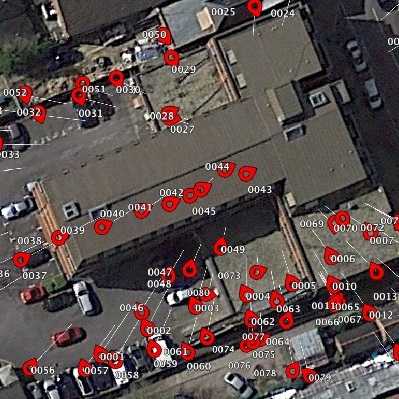
Key to our success are our aerial drone inspections which can position a wide range of sensors to acquire data from a unique perspective.
Insurance
We hold £10 million Public Liability and £5 million Professional Indemnity Insurance.
Risk Assessment and Operating Safety Case
We have had authorisation from the CAA as a commercial operator since 2014. We are proud to have achieved our Operating Safety Case which further reduces the distance separation required from uninvolved people, allows operating in congested areas and where applicable, extends visual line of sight out to 1000m. We also have a fleet of MoD compliant drones.
Innovation
Our experience understanding, quantifying and recommending solutions to problems has been gained over 10 years in a fast moving technological environment. . We have led the field in using drones to understand buildings through thermal imaging. We were the first to fly a drone across the English Channel.
Our Services
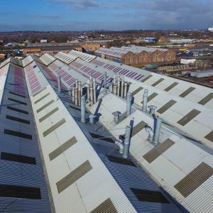 Building Defect Surveys
There are 3 aspects to these surveys:
- Visual
- Thermal
- Physical testing
By using our range of drones and cameras and sensors, we will provide a bespoke survey of your building or asset to look for specific defects, or to provide a record enabling an assessment to be made. Our drone surveys are almost always better value, safer and faster than traditional methods, and are designed to work in conjunction and be complimentary to more conventional survey types.
Read more about our defect surveys…
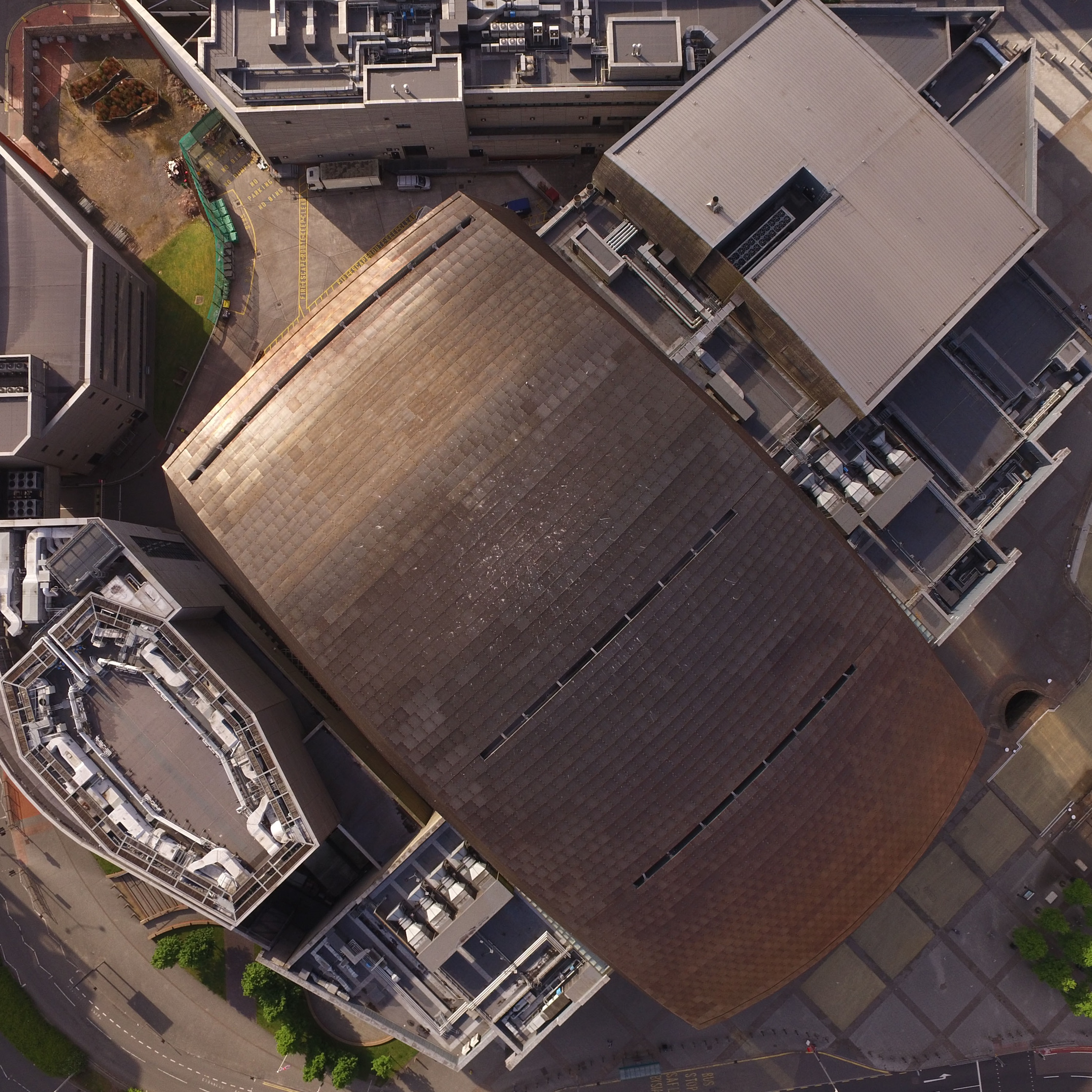 Condition and monitoring
With a drone we can provide a repeatable condition survey. This could enable you to monitor projects, movement, alterations, shifts, from a different perspective including in 3D. We strive to develop ways of integrating our data to provide a real insight into buildings and assets.
Read more about our condition and monitoring surveys…
 Visualisation
When you need to understand your built space we can help. We can provide detailed and accurate data in a variety of outputs to suit your needs, including models and outputs to CAD systems.
Read more about our asset visualisation services …
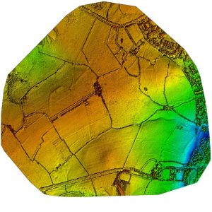 Land
Land
We are able to assist surveyors in achieving the right accurately georeferenced topographical detail, combining various data capture methods in unique ways.
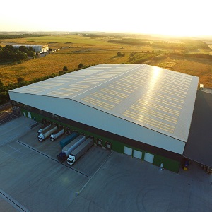
 Energy
We provide surveyors and engineers with expert aerial and terrestrial infrared surveys to give a better insight into the true condition of buildings and structures beyond what can be identified visually and without intrusive testing, augmented by the skills of the expert analysts at IRT Surveys, with their patented analysis software.
Read more about our energy surveys…
 Case Studies
Have a look at some of our case studies for examples of some of our projects.
Read more…
Ocuair ® specialise in providing tailored solutions to your problem. Get in touch, give us your ideas. That is why our drone crossed the channel first, why we have quietly led the way … because we listen.